Capitol Reef; Off-The-Grid
Five days backpacking outside Capitol Reef through frozen springs, dryfalls, sandstone mesas, and storm light over the Waterpocket Fold.
January 21, 2022 · 5 min read
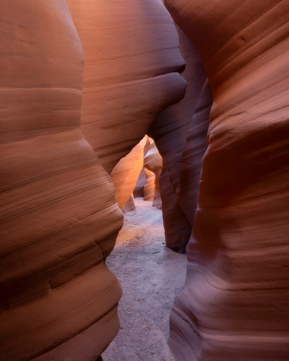
Starting this trip took time and preparation. The route had not been completed in a trip report I read a few years back, mostly because of the difficulty of the environment. I figured two friends and I would be able to complete this 40-mile loop of no trails, no markers, and many difficult dryfalls with the help of one another and some rope.
Day 1. Our route led us directly into a canyon, requiring thoughtful down-climbing over boulders to the flat below. A natural spring at the head of the canyon created an ice rink to the canyon exit where we entered. Between slipping, sliding, and breaking through the ice, it made for an interesting start. We navigated frozen waterfalls and small cliffs until we exited the canyon, where the life-giving spring was running strong. We filled our water and continued forward.
Up and out, then up again, we crested a saddle and looked ahead. Massive canyon walls, more than 1,000 feet high, led away and disappeared into the horizon. This was where the maze of canyons began. Mile after mile, spring after spring, we twisted through the country like rushing water. A large tributary canyon opened on the left, and it was time to change directions. Not much farther up canyon, we scrambled out and settled beneath large boulders to protect ourselves from the wind. A fire, warm meals, amazing sunset light, and stars as bright as the moon. Goodnight.
Day 2. I rose with the sun to photograph sunrise. Zach and Collin loaded their packs, I loaded mine, and we were off. Springs were plentiful but frozen solid. We broke through ice like glass and refilled water with our MSR Guardian filter, quite possibly the only filter that would last in those sandy, mucky waters. We each carried about six liters, hoping that would last until we found water on the sandstone world above.
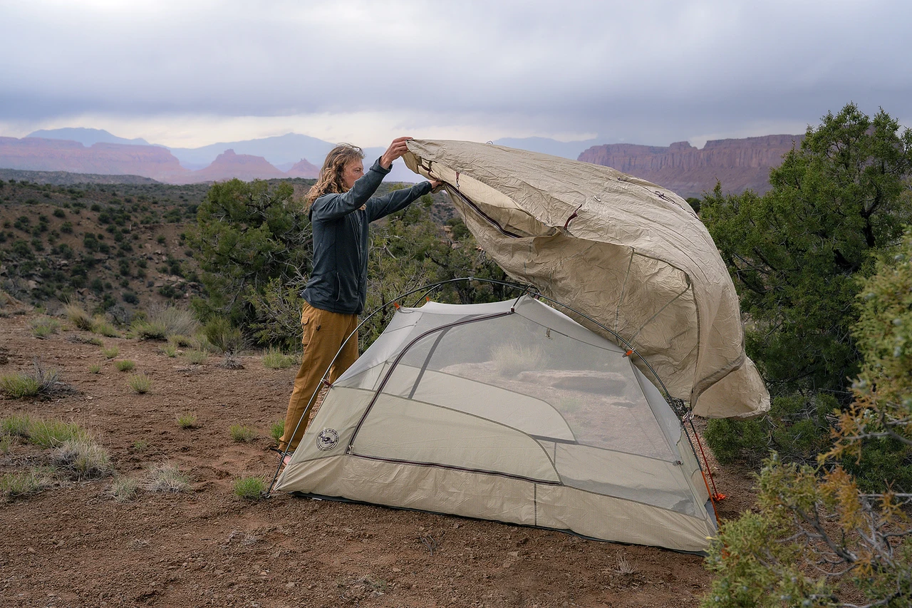
Three tributary canyons appeared: left fork, middle fork, right fork. We followed the ice up the right fork. Another option appeared, so left it was. I took out my phone, looked at my downloaded map, and said out loud, no way, this cannot be right. The mapped route climbed the steepest, boulder-laden field you could imagine. My phone was passed around while we searched for alternatives. This was the way.
We took off layers, drank water, tightened our backpack straps, and started up. One grueling step after the next, huffing and puffing. It was hard. Eventually a small canyon entrance came into view, but the obstacle course had only begun. The hidden canyon started with a five-foot dryfall and no obvious way up. We boosted Collin to check it out. A faint, we got this, echoed back. We handed up pack after pack, then hoisted one another up.
Another dryfall appeared. We scrambled around and came to a dead end, staring up at a wall that seemed unclimbable. To our surprise, there were Moqui steps, carved footholds in the sandstone wall. This was the route. I tossed a rope to Collin, we clipped one end to our packs and lifted them overhead. We tiptoed around a smooth sandstone edge that dropped 30 feet below, then entered a tight, steep section of shrub oak. Branches grabbed at us from every side. At the top we had only a few scratches and bruises. Looking back toward the canyon floor, we were amazed by what we had just climbed. We found a great indentation in the sandstone filled with dirt, sand, small rocks, and two large pinyon pines. This was camp.
Day 3. The night was cold, hovering around 30 degrees Fahrenheit. The winter sun rose to warm us. After coffee, we all traveled in different directions to explore. I went west to look over the maze of canyons below. Zach went north to find water. Collin went south. This was our day to leave the heavy packs behind and experience the sandstone playground around us.
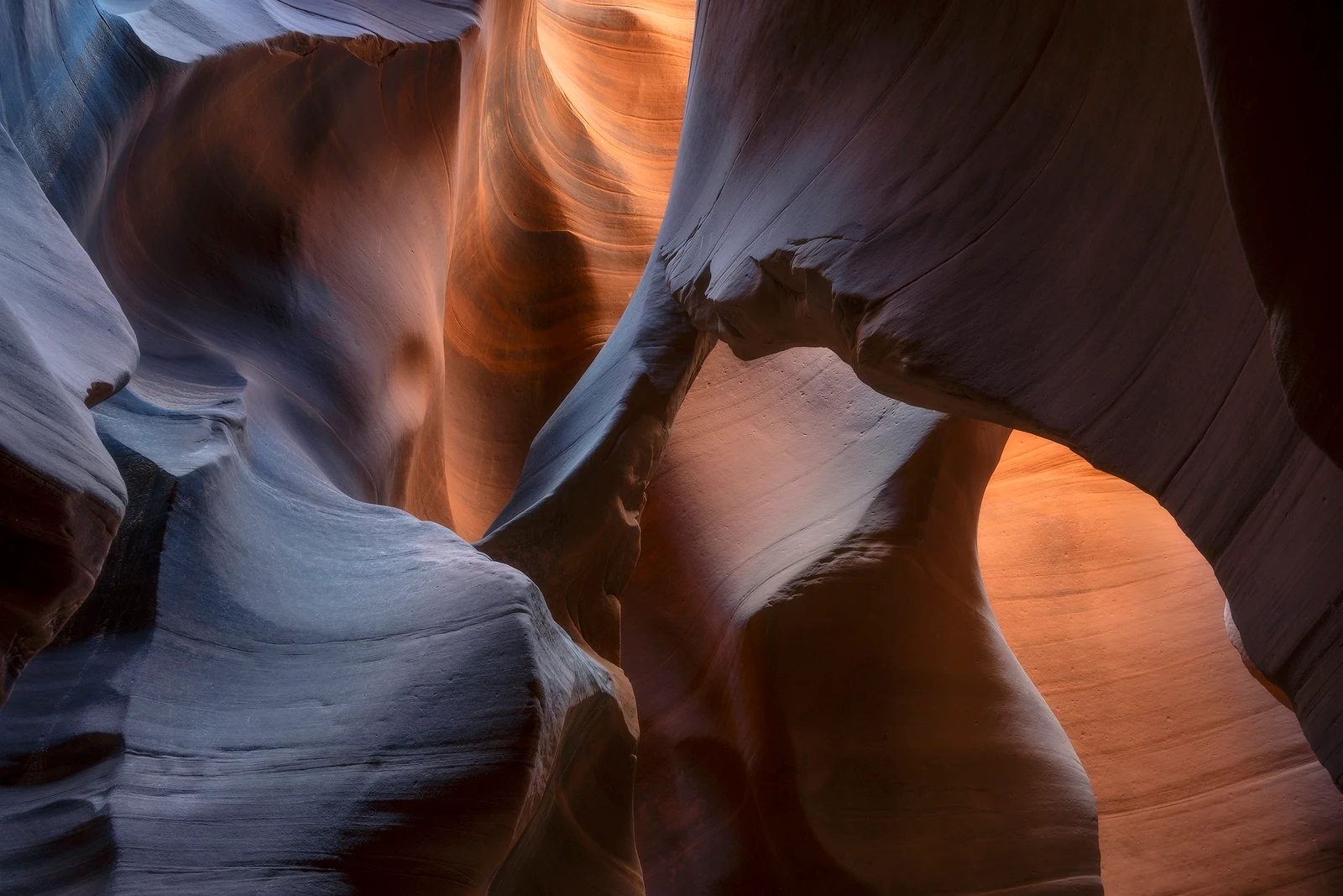
One hike led us into canyon bottoms and washes where we found evidence of flash floods. Southward, a large sandstone formation seemed to stand alone in greatness. Back at camp, running low on water, we scattered to search. Zach came upon a keeper hole, a natural pothole filled with old rainwater. We rigged up a water bladder with rope and lowered it about 10 feet off a dryfall. After a few variations of knots, we were able to open the bladder enough to pull up three liters at a time. The day quickly turned to night.
Day 4. A small breakfast satisfied our growling stomachs. Coffee helped. We felt energized for the 9-plus-mile day, though we did not know what lay ahead besides the distance. A landmine of cactus, snow patches, and thick juniper forest greeted us a few miles in. There was no way to look ahead and determine a path. For about seven miles we wove around cactus, ducked under branches, and tried to close distance to our final camp.
At one point, before the cactus-covered ground, we were high above and gaining miles quickly while the ground sparkled with flint knapping chips. The view was something out of a movie, but better. We could see Monument Valley to the south, the Henry Mountains, the La Sal Range, Lake Powell, and more. Nine miles later we descended through forest to a cliff edge overlooking the Waterpocket Fold. A literal breathtaking view. Walking along the cliff edge, the floor dropped about 1,000 feet below.
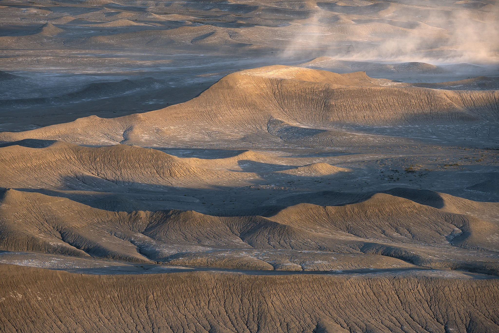
We emptied our packs under juniper trees growing beside a sandstone wall. This was paradise, except for one major issue: we were very low on water, with no sign of it for the last nine miles. As the day turned to night, I watched the shadows move quicker than time itself.
Day 5. I woke early, walked to the nearby cliff, and thought, uh oh, there is a snowstorm moving in quickly. I hiked to a vantage point and yelled out that it was going to blow up. I practically flew to my previous composition, giddy with anticipation. I set up my camera and instantly the sky exploded with reds, oranges, and magentas. To the north, the snowstorm was engulfing the landscape, billowing toward us. Do I keep photographing or pack my gear and get out of here? The fireball sunrise lit the landscape, emphasizing the wall of snow closing in.
When the colors dulled, I bolted back to my gear. The wind started to howl and the storm approached. One snowflake after the next landed on my equipment as I frantically stuffed it into my pack. Hiking along the cliff, a blizzard arrived and blurred my vision. The snow had made landfall. Soon we were back in the cactus-covered terrain, while the forest gave us some much-needed cover from the sideways snow.
Our route out was as unknown as ever. Ahead was serious route finding, down-climbing dryfalls, and trying not to slip on wet stone above exposed drops. From the forest, looking down at a sandstone maze, we all had input on my less-than-perfect mapped route. Into the snow-filled maze we went. After many mistakes, moving up, down, and around dozens of knolls, slipping and sliding on wet sandstone, we eventually found the correct wash that would lead to the valley floor far below. After seven miles, thousands of feet of elevation loss, wet gear, another canyon to navigate, and more, we finally arrived at the truck.